Mapping & data organization
Bring geographic datasets into a consistent structure and communicate their sources, coverage, and limitations.

 Vishwanatha Mobility Solutions LLC
GIS & Spatial Analysis
Bring location into the decision. Connect transportation networks, land use, and access through clear maps and spatial analysis for Florida projects.
Discuss your project ↗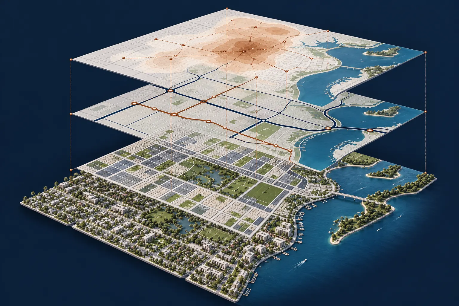
The perspective
GIS means Geographic Information Systems: a way to organize and analyze information by location. Bring roads, land use, destinations, and community context together to explore the relationships that shape transportation decisions.
Areas of focus
Specific tasks and deliverables are defined around the project’s needs and agreed scope.
Bring geographic datasets into a consistent structure and communicate their sources, coverage, and limitations.
Explore connections to destinations, transit, and walking or cycling networks to identify access gaps.
Compare corridors, locations, or alternatives using relevant geographic information and clearly stated criteria.
Communicate spatial findings through legible maps, focused graphics, and documented assumptions.
Questions worth asking
Where are the gaps in access?
How do land use and transportation connect?
Which locations warrant closer study?
A useful outcome
Clear maps, documented spatial analysis, and a practical explanation of what the information shows and where its limits lie.
Let’s work together